| Item Detail |
| |
| |
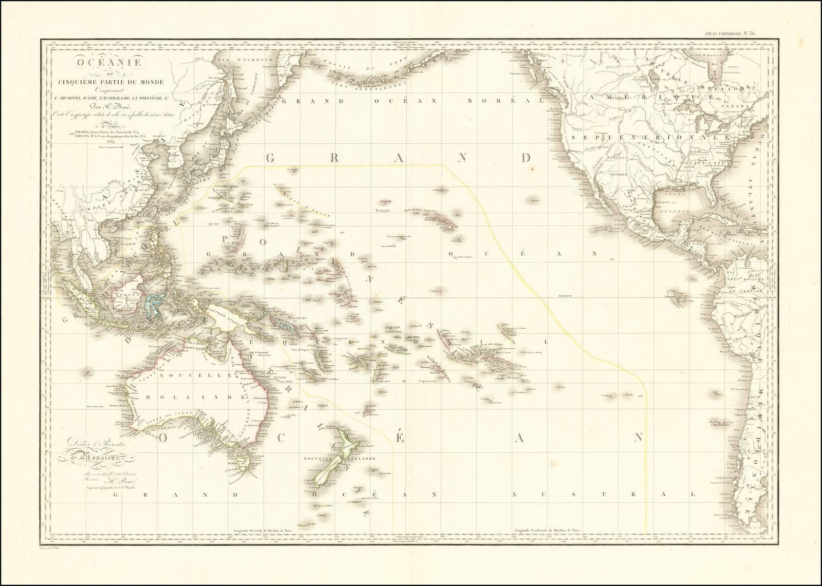
MapMaker: |
Adrien-Hubert Bru�
|
|
| |
| |
Subject: |
Pacific Ocean / Australia & Oceania |
|
| |
Period/Size: |
1817 / unknown
|
|
| |
Color: |
Colored
|
|
| |
Condition: |
VG+ (condition help) |
|
| |
Source: |
|
|
| |
References: |
Christina Thompson, Sea People: The Puzzle of Polynesia (London: WilliamCollins, 2019); Bronwen Douglas, Science, Voyages, and Encounters in Oceania, 1511-1850 (Houndsmill, Basingstoke, Hampshire: Palgrave MacMillan, 2014); Graham Seal, The Savage Shore: |
|
| |
|
|
| Sales Information |
| |
| |
Price: |
|
|
| |
| |
Offered by: |
Barry L. Ruderman Antique Maps Inc. |
|
| |
Catalog: |
Recently Added - September 2020 (9488) |
|
| |
Lot/Item #: |
68945 |
|
| |
| |
Date: |
09/2020
|
|
| |
| |
|