| Item Detail |
| |
| |
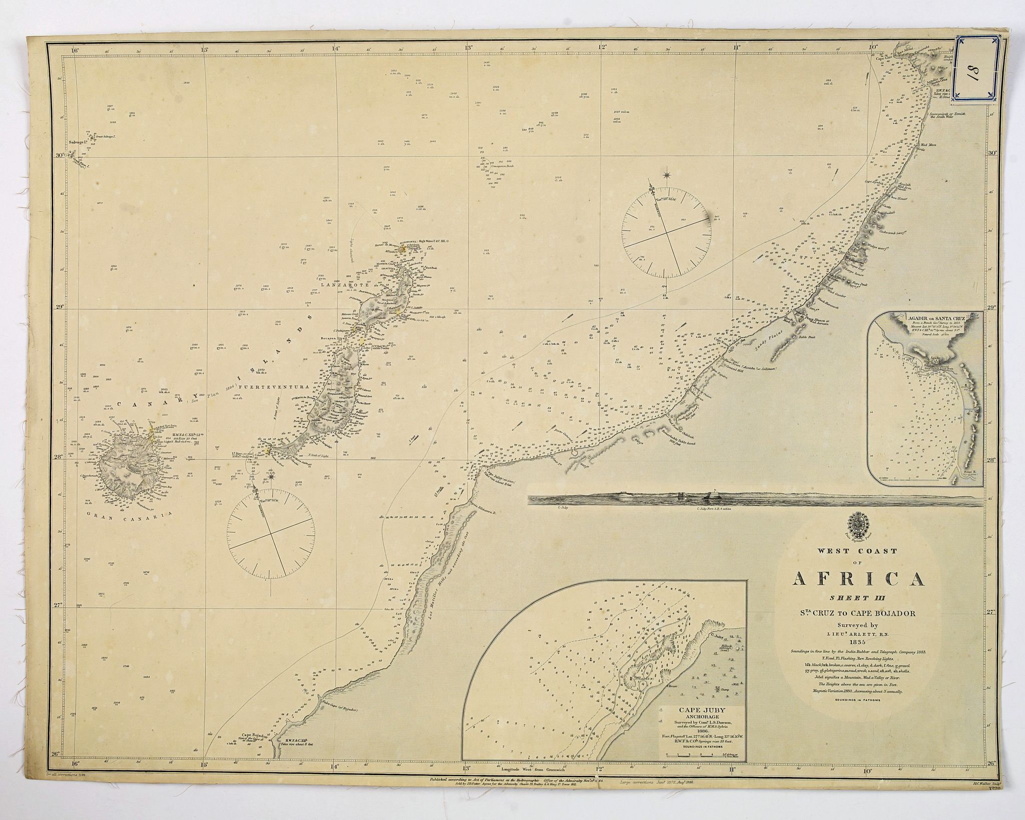
MapMaker: |
British Admiralty
|
|
| |
| |
Subject: |
Northwestern Africa New data: Morocco |
|
| |
Period/Size: |
c. 1890 / 19.1" x 24.6" (48.6 x 62.5 cm)
|
|
| |
Color: |
Black & White
|
|
| |
Condition: |
In good condition, chart is backed onto linen (foxed and browned on verso), right hand margin tight, chart is somewhat age toned. The number '18' or '81' is pasted on a label top right corner. Dark impression. (condition help) |
|
| |
Source: |
|
|
| |
References: |
|
|
| |
|
|
| Sales Information |
| |
| |
Price: |
|
|
| |
| |
Offered by: |
Paulus Swaen Old Maps & Prints |
|
| |
Catalog: |
October 15, 2019 Internet Auction (9473) |
|
| |
Lot/Item #: |
44014 |
|
| |
| |
Date: |
10/2019
|
|
| |
| |
|