| Item Detail |
| |
| |
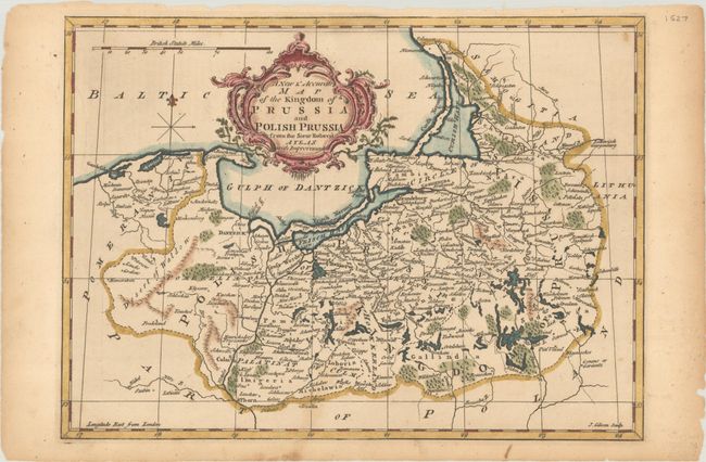
MapMaker: |
John Gibson
|
|
| |
| |
Subject: |
Northern Poland & Kaliningrad |
|
| |
Period/Size: |
1765 / 8.6" x 11.8" (21.9 x 30.0 cm)
|
|
| |
Color: |
Colored
|
|
| |
Condition: |
(B+) A nice impression on a lightly toned sheet with a few small chips along the edges of the sheet. (condition help) |
|
| |
Source: |
A New System of Geography |
|
| |
References: |
McCorkle (18th Ce. Geography Books) #104, Vol. II [2]. |
|
| |
|
|
| Sales Information |
| |
| |
Price: |
|
|
| |
| |
Offered by: |
Old World Auctions |
|
| |
Catalog: |
Auction No. 191 - Antique Maps, Charts, Atlases & Globes (9561) |
|
| |
Lot/Item #: |
564 |
|
| |
| |
Date: |
02/2023
|
|
| |
| |
|