| Item Detail |
| |
| |
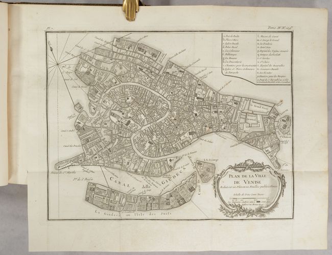
MapMaker: |
Jacques Nicolas Bellin
|
|
| |
| |
Subject: |
Adriatic Sea & Ionian Sea |
|
| |
Period/Size: |
1771 / 10.5" x 8.1" (26.7 x 20.6 cm)
|
|
| |
Color: |
Black & White
|
|
| |
Condition: |
(B+) The maps range in condition from excellent (A) to very good (B+) with occasional offsetting, light toning, and scattered foxing. The text has occasional foxing. The frontispiece is foxed and soiled and there are several old library stamps on the ti (condition help) |
|
| |
Source: |
|
|
| |
References: |
Shirley (BL Atlases) T.BELL-5a. |
|
| |
|
|
| Sales Information |
| |
| |
Price: |
|
|
| |
| |
Offered by: |
Old World Auctions |
|
| |
Catalog: |
Auction No. 193 - Antique Maps, Charts, Atlases & Globes (9567) |
|
| |
Lot/Item #: |
589 |
|
| |
| |
Date: |
07/2023
|
|
| |
| |
|