| Item Detail |
| |
| |
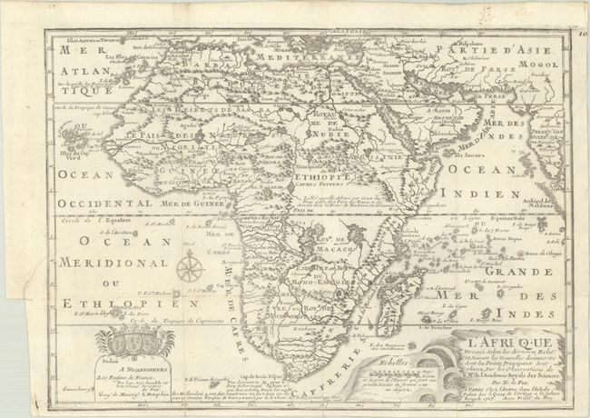
MapMaker: |
Nicholas de Fer
|
|
| |
| |
Subject: |
Africa |
|
| |
Period/Size: |
1717 / 9.1" x 12.4" (23.2 x 31.5 cm)
|
|
| |
Color: |
Black & White
|
|
| |
Condition: |
(B+) Issued folding, now flat, on watermarked paper. There is a binding trim at left with an associated tear that enters 1.75" into map image; it has been closed on verso with archival materials. (condition help) |
|
| |
Source: |
L'Atlas Curieux ou le Monde... |
|
| |
References: |
Betz #170.3; Norwich #64 (larger version); Pastoureau, FER ID. |
|
| |
|
|
| Sales Information |
| |
| |
Price: |
|
|
| |
| |
Offered by: |
Old World Auctions |
|
| |
Catalog: |
Auction No. 192 - Antique Maps, Charts, Atlases & Globes (9562) |
|
| |
Lot/Item #: |
651 |
|
| |
| |
Date: |
04/2023
|
|
| |
| |
|