| Item Detail |
| |
| |
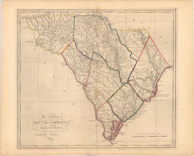
MapMaker: |
Lewis/Carey
|
|
| |
| |
Subject: |
South Carolina |
|
| |
Period/Size: |
1814 / 15.2" x 17.2" (38.6 x 43.7 cm)
|
|
| |
Color: |
Colored
|
|
| |
Condition: |
(B+) Original outline color on watermarked paper with a bit of foxing along the centerfold and some light printer's ink residue. A centerfold separation that extends 1.5" into the image at bottom has been archivally repaired. (condition help) |
|
| |
Source: |
Carey's General Atlas |
|
| |
References: |
Phillips (Atlases) #1372-19; Wheat & Brun #601. |
|
| |
|
|
| Sales Information |
| |
| |
Price: |
|
|
| |
| |
Offered by: |
Old World Auctions |
|
| |
Catalog: |
Auction No. 163 - Antique Maps, Charts, Atlases & Globes (9365) |
|
| |
Lot/Item #: |
351 |
|
| |
| |
Date: |
06/2017
|
|
| |
| |
|