Title:
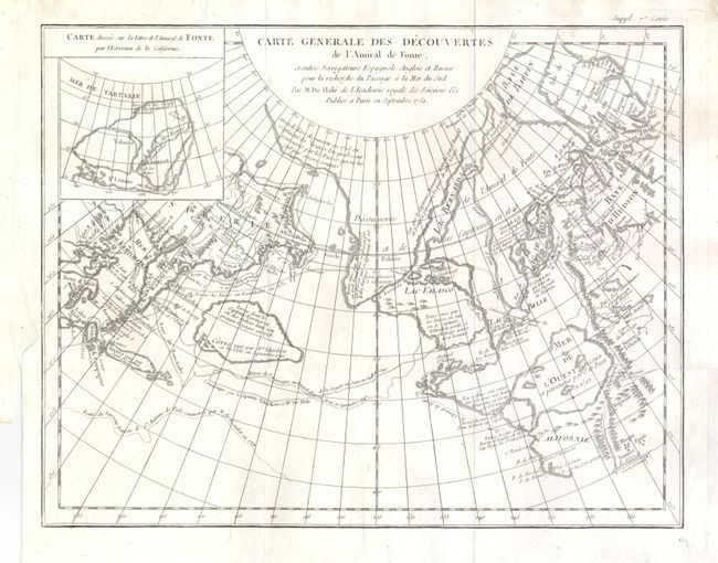
“Carte Generale des Decouvertes de l'Amiral de Fonte, et autres Navigateurs Espagnols, Anglios et Russes pour la recherche du Passage a la Mer du Sud Par M. De I'Lsle de l'Acadmie royale des Sciences &c. Publiee a Paris en Septembre 1752”
Map Maker:
Didier Robert de Vaugondy
This is one of the more remarkable combinations of... (full text available to subscribers)
| Item Detail |
| |
| |
MapMaker: |
Didier Robert de Vaugondy
|
|
| |
| |
Subject: |
Western North America |
|
| |
Period/Size: |
1752 / 11.3" x 15.0" (28.7 x 38.1 cm)
|
|
| |
Color: |
Black & White
|
|
| |
Condition: |
Very nice impression with full margins. Short marginal tear at binding trim that is well closed and does not enter map. (condition help) |
|
| |
Source: |
Diderot's Encyclopedia (Supplement) |
|
| |
References: |
Hayes pp. 26-27; Pedley #454. |
|
| |
|
|
| Sales Information |
| |
| |
Price: |
|
|
| |
| |
Offered by: |
Old World Auctions |
|
| |
Catalog: |
Auction No. 132 - Antique Maps, Charts, Atlases & Globes (7403) |
|
| |
Lot/Item #: |
105 |
|
| |
| |
Date: |
06/2010
|
|
| |
| |
|
Antique Maps - Valuation and Pricing, Descriptions, Resources |
|
Home |
Information |
Search |
Register |
Contact Us |
Site Map
Americana Exchange, Inc. © 1999 - 2024 Americana Exchange, Inc.. All rights reserved.
OldMaps.com, the OldMaps.com logo and
AMPR are service marks or registered service marks of Americana Exchange, Inc..
|