| Item Detail |
| |
| |
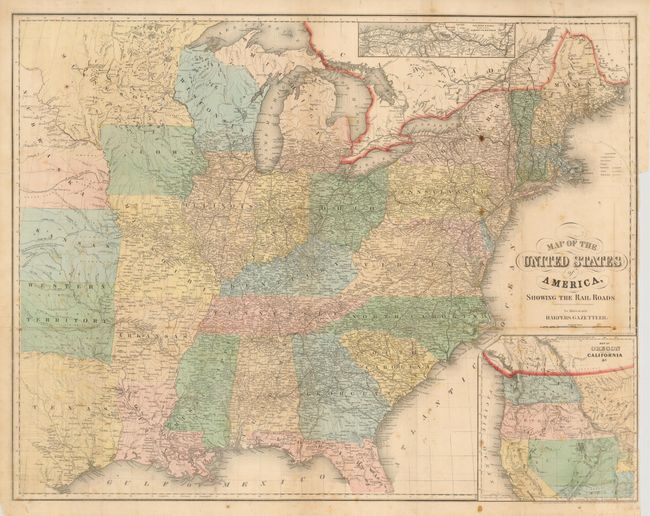
MapMaker: |
John Calvin Smith [& Son]
|
|
| |
| |
Subject: |
United States |
|
| |
Period/Size: |
1855 / 21.0" x 27.0" (53.4 x 68.6 cm)
|
|
| |
Color: |
Colored
|
|
| |
Condition: |
Issued folding, now flattened. Original color and margins on thin paper Some scattered foxing spots and toning, long binding side tear closed on verso and some other splits closed on verso, one small worm hole in Georgia not affecting any printing. Sho (condition help) |
|
| |
Source: |
Harpers Gazetteer |
|
| |
References: |
|
|
| |
|
|
| Sales Information |
| |
| |
Price: |
|
|
| |
| |
Offered by: |
Old World Auctions |
|
| |
Catalog: |
Auction No. 132 - Antique Maps, Charts, Atlases & Globes (7403) |
|
| |
Lot/Item #: |
134 |
|
| |
| |
Date: |
06/2010
|
|
| |
| |
|