| Item Detail |
| |
| |
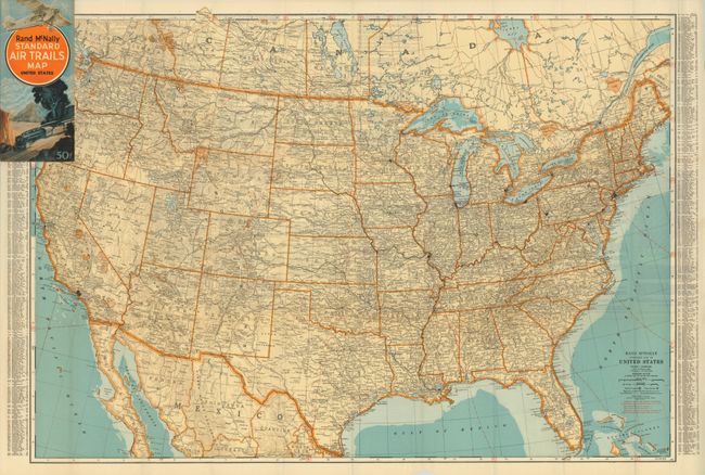
MapMaker: |
Rand, McNally & Co.
|
|
| |
| |
Subject: |
United States |
|
| |
Period/Size: |
1929-30 / 25.5" x 36.0" (64.8 x 91.5 cm)
|
|
| |
Color: |
Colored
|
|
| |
Condition: |
The map is fine with strong, bold color and printing. A few small fold intersection splits but still fine. Covers are near fine as well with no flaws just a trace of soiling along one edge. (condition help) |
|
| |
Source: |
|
|
| |
References: |
|
|
| |
|
|
| Sales Information |
| |
| |
Price: |
|
|
| |
| |
Offered by: |
Old World Auctions |
|
| |
Catalog: |
Auction No. 132 - Antique Maps, Charts, Atlases & Globes (7403) |
|
| |
Lot/Item #: |
140 |
|
| |
| |
Date: |
06/2010
|
|
| |
| |
|