| Item Detail |
| |
| |
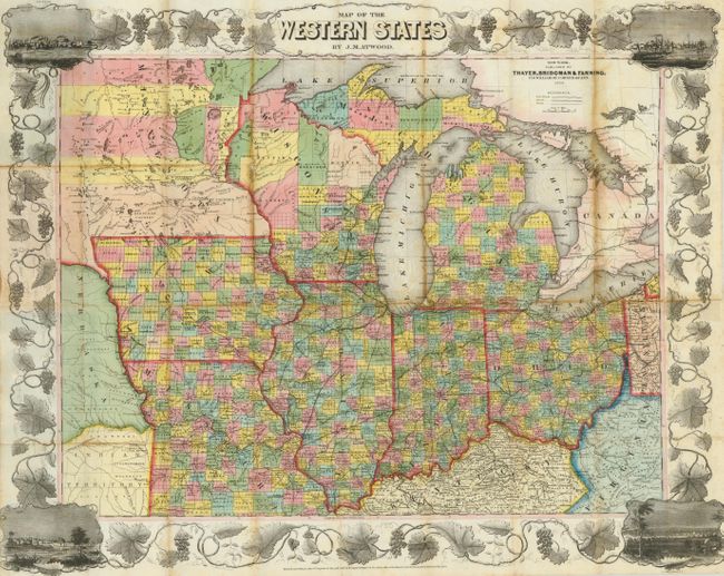
MapMaker: |
John M. Atwood
|
|
| |
| |
Subject: |
Midwestern United States |
|
| |
Period/Size: |
1853 / 21.5" x 26.5" (54.7 x 67.4 cm)
|
|
| |
Color: |
Colored
|
|
| |
Condition: |
Nice, crisp impression with no voids as often seen in lithographed maps from this period. Bright original hand coloring. One long split with heavy edge toning and a few other weak fold lines with toning. One fold with archival tape on verso. Attached (condition help) |
|
| |
Source: |
|
|
| |
References: |
|
|
| |
|
|
| Sales Information |
| |
| |
Price: |
|
|
| |
| |
Offered by: |
Old World Auctions |
|
| |
Catalog: |
Auction No. 132 - Antique Maps, Charts, Atlases & Globes (7403) |
|
| |
Lot/Item #: |
190 |
|
| |
| |
Date: |
06/2010
|
|
| |
| |
|