| Item Detail |
| |
| |
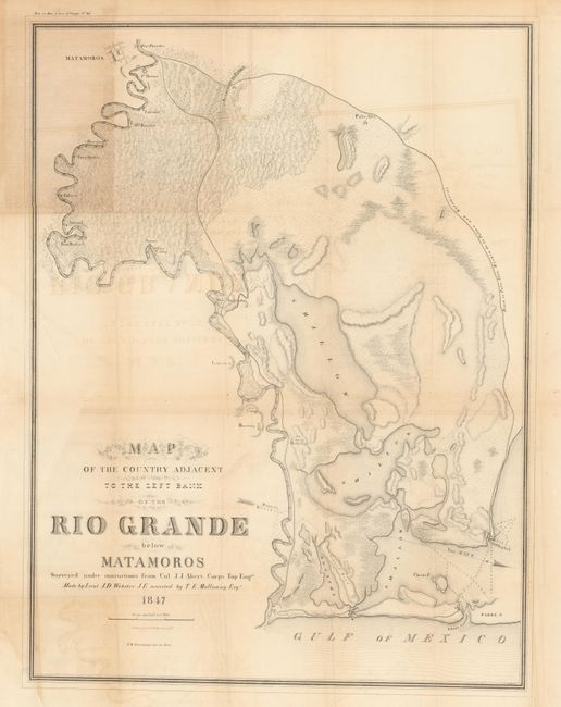
MapMaker: |
U.S. War Department
|
|
| |
| |
Subject: |
Texas |
|
| |
Period/Size: |
1847 / 26.0" x 19.5" (66.1 x 49.6 cm)
|
|
| |
Color: |
Black & White
|
|
| |
Condition: |
Folding as issued with toning along most folds, an area of toning, and some offsetting from the early, strong impression. On surprisingly sound paper with no fold splits and full margins. Long 5" binding trim tear closed on verso with archival tape. (condition help) |
|
| |
Source: |
31st Cong., 1st Sess, Sen. Ex. Doc. No. 65 |
|
| |
References: |
|
|
| |
|
|
| Sales Information |
| |
| |
Price: |
|
|
| |
| |
Offered by: |
Old World Auctions |
|
| |
Catalog: |
Auction No. 132 - Antique Maps, Charts, Atlases & Globes (7403) |
|
| |
Lot/Item #: |
296 |
|
| |
| |
Date: |
06/2010
|
|
| |
| |
|