| Item Detail |
| |
| |
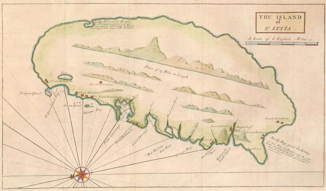
MapMaker: |
Nathaniel Uring
|
|
| |
| |
Subject: |
St. Lucia |
|
| |
Period/Size: |
1726 / 9.3" x 16.3" (23.7 x 41.4 cm)
|
|
| |
Color: |
Colored
|
|
| |
Condition: |
Issued folded, now flattened with the binding trim at lower left extended to accommodate framing. There is a repaired fold separation in the top margin, not affecting the map. (condition help) |
|
| |
Source: |
A history of the voyages and travels of Capt. Nathaniel Uring |
|
| |
References: |
|
|
| |
|
|
| Sales Information |
| |
| |
Price: |
|
|
| |
| |
Offered by: |
Old World Auctions |
|
| |
Catalog: |
Auction No. 132 - Antique Maps, Charts, Atlases & Globes (7403) |
|
| |
Lot/Item #: |
359 |
|
| |
| |
Date: |
06/2010
|
|
| |
| |
|