| Item Detail |
| |
| |
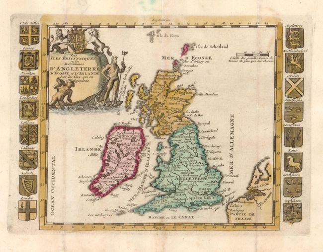
MapMaker: |
Daniel de La Feuille
|
|
| |
| |
Subject: |
Britain |
|
| |
Period/Size: |
1720 / 6.0" x 8.0" (15.3 x 20.4 cm)
|
|
| |
Color: |
Colored
|
|
| |
Condition: |
Nice impression and some minor toning. The outside vertical folds have been reinforced with light tissue on the verso with some expert paper restoration in the blank margins, well away from the map. (condition help) |
|
| |
Source: |
Geographisch-Toneel |
|
| |
References: |
Shirley La Feuille 1. |
|
| |
|
|
| Sales Information |
| |
| |
Price: |
|
|
| |
| |
Offered by: |
Old World Auctions |
|
| |
Catalog: |
Auction No. 132 - Antique Maps, Charts, Atlases & Globes (7403) |
|
| |
Lot/Item #: |
410 |
|
| |
| |
Date: |
06/2010
|
|
| |
| |
|