| Item Detail |
| |
| |
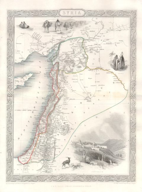
MapMaker: |
John Tallis
|
|
| |
| |
Subject: |
Middle East |
|
| |
Period/Size: |
1850 / 13.0" x 9.8" (33.1 x 24.9 cm)
|
|
| |
Color: |
Colored
|
|
| |
Condition: |
Stunning, early impression. Professional repair along centerfold with no evidence of damage. Two mirrored worm holes in blank margin at left, well away from map image. (condition help) |
|
| |
Source: |
Illustrated Atlas and Modern History of the World |
|
| |
References: |
|
|
| |
|
|
| Sales Information |
| |
| |
Price: |
|
|
| |
| |
Offered by: |
Old World Auctions |
|
| |
Catalog: |
Auction No. 132 - Antique Maps, Charts, Atlases & Globes (7403) |
|
| |
Lot/Item #: |
577 |
|
| |
| |
Date: |
06/2010
|
|
| |
| |
|