Title:
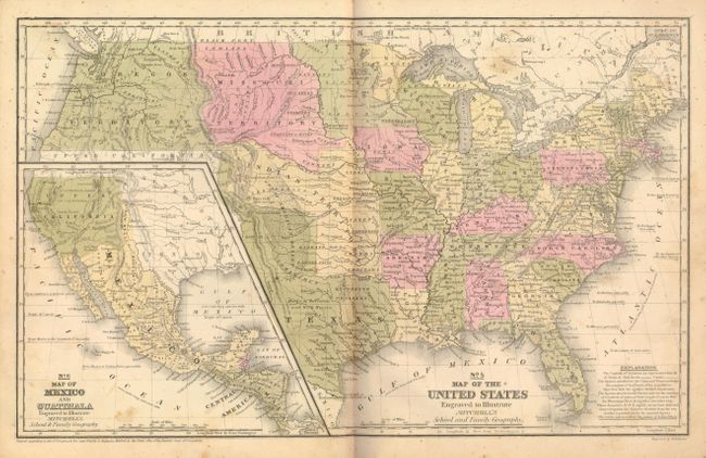
“Mitchell's School Atlas: Comprising the Maps, Etc., Designed to Illustrate Mitchell's School and Family Geography”
Map Maker:
Thomas, Cowperthwait & Co.
A nice example of Mitchell's famous school atlas w... (full text available to subscribers)
| Item Detail |
| |
| |
MapMaker: |
Thomas, Cowperthwait & Co.
|
|
| |
| |
Subject: |
Atlases |
|
| |
Period/Size: |
1849 / 12.0" x 10.0" (30.5 x 25.4 cm)
|
|
| |
Color: |
Colored
|
|
| |
Condition: |
Near fine example and the best we've ever seen. Some occasional insignificant light foxing, the most on the map of North America at the front of the book. Covers with just a little rubbing and soiling, still an exceptional example that is sound with bri (condition help) |
|
| |
Source: |
|
|
| |
References: |
|
|
| |
|
|
| Sales Information |
| |
| |
Price: |
|
|
| |
| |
Offered by: |
Old World Auctions |
|
| |
Catalog: |
Auction No. 132 - Antique Maps, Charts, Atlases & Globes (7403) |
|
| |
Lot/Item #: |
729 |
|
| |
| |
Date: |
06/2010
|
|
| |
| |
|
Antique Maps - Valuation and Pricing, Descriptions, Resources |
|
Home |
Information |
Search |
Register |
Contact Us |
Site Map
Americana Exchange, Inc. © 1999 - 2024 Americana Exchange, Inc.. All rights reserved.
OldMaps.com, the OldMaps.com logo and
AMPR are service marks or registered service marks of Americana Exchange, Inc..
|