| Item Detail |
| |
| |
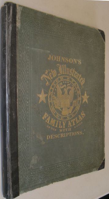
MapMaker: |
Johnson & Ward
|
|
| |
| |
Subject: |
Atlases |
|
| |
Period/Size: |
1863 / 18.5" x 15.0" (47.0 x 38.1 cm)
|
|
| |
Color: |
Colored
|
|
| |
Condition: |
Front cover partially detached with duct tape on spine and corners. The double-page map of Ohio and Indiana split in half. Other maps are good to very good, with the occasional minor spot or edge tear. Contents with some minor toning. (condition help) |
|
| |
Source: |
|
|
| |
References: |
|
|
| |
|
|
| Sales Information |
| |
| |
Price: |
|
|
| |
| |
Offered by: |
Old World Auctions |
|
| |
Catalog: |
Auction No. 132 - Antique Maps, Charts, Atlases & Globes (7403) |
|
| |
Lot/Item #: |
733 |
|
| |
| |
Date: |
06/2010
|
|
| |
| |
|