| Item Detail |
| |
| |
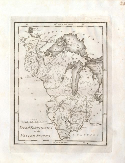
MapMaker: |
Mathew Carey
|
|
| |
| |
Subject: |
United States - Midwest |
|
| |
Period/Size: |
1814 / 7.6" x 5.8" (19.3 x 14.8 cm)
|
|
| |
Color: |
Black & White
|
|
| |
Condition: |
The map is a beautiful, dark impression and fine plate mark. An old puncture above upper neatline has two tears that enter border, well closed with old paper repair on verso. Full margins. (condition help) |
|
| |
Source: |
American Pocket Atlas |
|
| |
References: |
Karpinski, p. 211, #21. |
|
| |
|
|
| Sales Information |
| |
| |
Price: |
|
|
| |
| |
Offered by: |
Old World Auctions |
|
| |
Catalog: |
Auction No. 133 - Antique Maps, Charts, Atlases & Globes (7404) |
|
| |
Lot/Item #: |
174 |
|
| |
| |
Date: |
09/2010
|
|
| |
| |
|