| Item Detail |
| |
| |
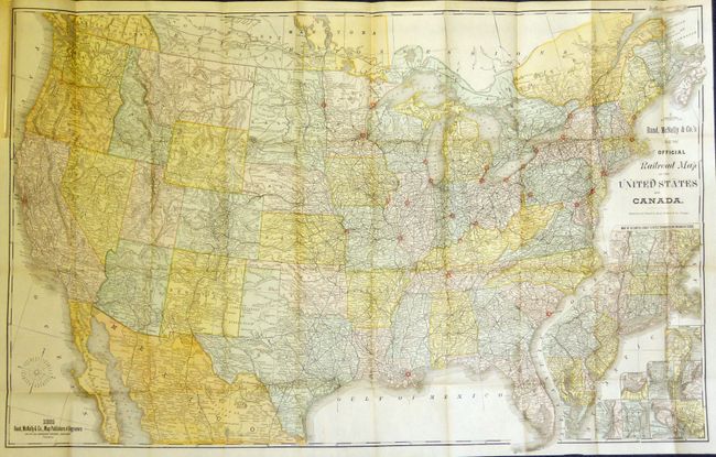
MapMaker: |
Rand, McNally & Co.
|
|
| |
| |
Subject: |
Canada & United States |
|
| |
Period/Size: |
1885 / 27.0" x 42.0" (68.6 x 106.7 cm)
|
|
| |
Color: |
Colored
|
|
| |
Condition: |
The map is a fine, flawless example with only a short tear at binding side, closed on verso. The disbound report is clean and bright. (condition help) |
|
| |
Source: |
Sen. No. 1571, 48th Congress, 2nd Session |
|
| |
References: |
cf Modelski 66. |
|
| |
|
|
| Sales Information |
| |
| |
Price: |
|
|
| |
| |
Offered by: |
Old World Auctions |
|
| |
Catalog: |
Auction No. 133 - Antique Maps, Charts, Atlases & Globes (7404) |
|
| |
Lot/Item #: |
119 |
|
| |
| |
Date: |
09/2010
|
|
| |
| |
|