| Item Detail |
| |
| |
MapMaker: |
Reverend Samuel Parker
|
|
| |
| |
Subject: |
Western Canada and United States |
|
| |
Period/Size: |
1846 / 8.0" x 5.0" (20.4 x 12.7 cm)
|
|
| |
Color: |
Black & White
|
|
| |
Condition: |
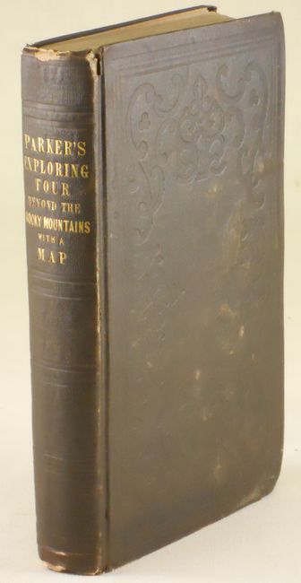
The map is very good, with just a few spots at right margin and one at the top of Vancouver Island. Original binding with a little shelf wear and bumped at top and bottom of spine. First end paper with old book plate. The contents are tight and general (condition help) |
|
| |
Source: |
|
|
| |
References: |
Howes P89; Wagner-Camp 70; Wheat [TMW] #438. |
|
| |
|
|
| Sales Information |
| |
| |
Price: |
|
|
| |
| |
Offered by: |
Old World Auctions |
|
| |
Catalog: |
Auction No. 133 - Antique Maps, Charts, Atlases & Globes (7404) |
|
| |
Lot/Item #: |
121 |
|
| |
| |
Date: |
09/2010
|
|
| |
| |
|