| Item Detail |
| |
| |
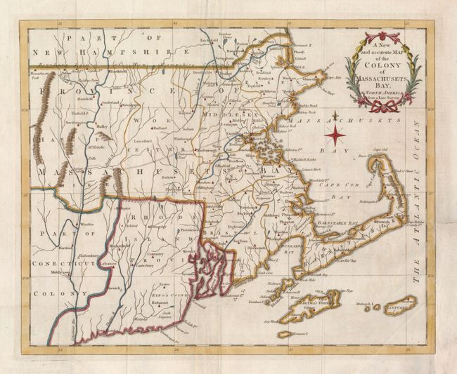
MapMaker: |
Anonymous
|
|
| |
| |
Subject: |
Colonial New England |
|
| |
Period/Size: |
1780 / 10.4" x 12.8" (26.5 x 32.6 cm)
|
|
| |
Color: |
Colored
|
|
| |
Condition: |
Folding, as issued. The binding trim at lower right has been replaced to accommodate framing and a tiny binding tear in the border has been repaired. (condition help) |
|
| |
Source: |
Universal Magazine, |
|
| |
References: |
Jolly UNIV-190; McCorkle #780-12; Sellers & Van Ee #881. |
|
| |
|
|
| Sales Information |
| |
| |
Price: |
|
|
| |
| |
Offered by: |
Old World Auctions |
|
| |
Catalog: |
Auction No. 133 - Antique Maps, Charts, Atlases & Globes (7404) |
|
| |
Lot/Item #: |
149 |
|
| |
| |
Date: |
09/2010
|
|
| |
| |
|