| Item Detail |
| |
| |
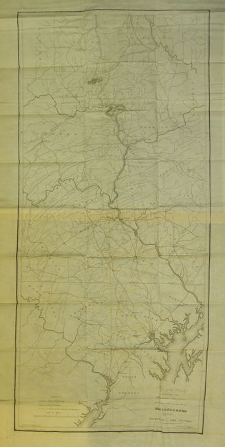
MapMaker: |
U.S. War Department
|
|
| |
| |
Subject: |
Mid-Atlantic |
|
| |
Period/Size: |
1829 / 36.0" x 16.5" (91.5 x 42.0 cm)
|
|
| |
Color: |
Black & White
|
|
| |
Condition: |
Both with a little light offsetting and toned at paper join, otherwise they are flawless, uncommon for folding maps from this period. Both are on fine banknote style paper. The pages of the disbound report are foxed. (condition help) |
|
| |
Source: |
House Doc. 38, 20th Cong., 2nd Sess. |
|
| |
References: |
|
|
| |
|
|
| Sales Information |
| |
| |
Price: |
|
|
| |
| |
Offered by: |
Old World Auctions |
|
| |
Catalog: |
Auction No. 133 - Antique Maps, Charts, Atlases & Globes (7404) |
|
| |
Lot/Item #: |
158 |
|
| |
| |
Date: |
09/2010
|
|
| |
| |
|