| Item Detail |
| |
| |
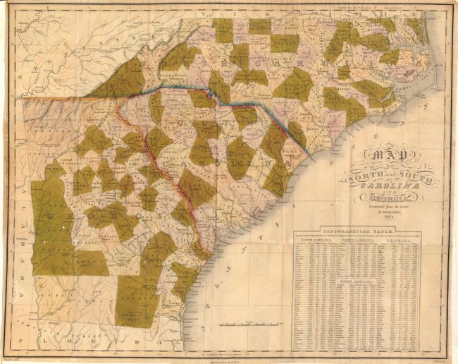
MapMaker: |
Anthony Finley
|
|
| |
| |
Subject: |
Southeastern United States |
|
| |
Period/Size: |
1824 / 16.6" x 20.8" (42.2 x 52.9 cm)
|
|
| |
Color: |
Colored
|
|
| |
Condition: |
From an old framing job the colors are badly faded. The map has several tiny areas of loss most associated with fold intersections. Very nice impression and original, but close, margins. The map is generally quite sound and will respond well to the car (condition help) |
|
| |
Source: |
|
|
| |
References: |
|
|
| |
|
|
| Sales Information |
| |
| |
Price: |
|
|
| |
| |
Offered by: |
Old World Auctions |
|
| |
Catalog: |
Auction No. 133 - Antique Maps, Charts, Atlases & Globes (7404) |
|
| |
Lot/Item #: |
164 |
|
| |
| |
Date: |
09/2010
|
|
| |
| |
|