| Item Detail |
| |
| |
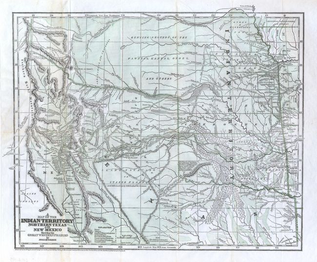
MapMaker: |
Josiah Gregg
|
|
| |
| |
Subject: |
South-Central United States, Indian Territory |
|
| |
Period/Size: |
1844 / 12.5" x 15.4" (31.8 x 39.2 cm)
|
|
| |
Color: |
Colored
|
|
| |
Condition: |
Folding as issued. This map is normally found with toning and fold flaws, this being a nice example that is clean and bright. Invisibly accomplished repairs on verso using tissue close two tears and some weak folds, otherwise a fine example that appears (condition help) |
|
| |
Source: |
Commerce of the Prairies |
|
| |
References: |
Wheat (TMW) #482; Wagner & Camp #108.1. |
|
| |
|
|
| Sales Information |
| |
| |
Price: |
|
|
| |
| |
Offered by: |
Old World Auctions |
|
| |
Catalog: |
Auction No. 133 - Antique Maps, Charts, Atlases & Globes (7404) |
|
| |
Lot/Item #: |
173 |
|
| |
| |
Date: |
09/2010
|
|
| |
| |
|