Title:
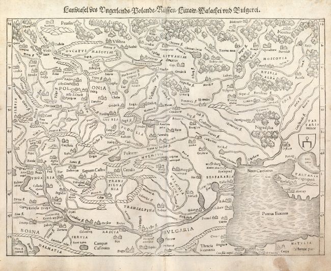
“Landtafel des Ungerlands, Polands, Reussen, Littaw, Walachen und Bulgaren”
Map Maker:
Sebastian Munster
Woodblock map of the region containing present-day... (full text available to subscribers)
| Item Detail |
| |
| |
MapMaker: |
Sebastian Munster
|
|
| |
| |
Subject: |
Eastern Europe |
|
| |
Period/Size: |
1578 / 10.2" x 13.6" (25.9 x 34.6 cm)
|
|
| |
Color: |
Black & White
|
|
| |
Condition: |
Some minor soil with a stain in the bottom border. There are two small worm tracks in the upper center of the map. (condition help) |
|
| |
Source: |
Cosmographia |
|
| |
References: |
|
|
| |
|
|
| Sales Information |
| |
| |
Price: |
|
|
| |
| |
Offered by: |
Old World Auctions |
|
| |
Catalog: |
Auction No. 133 - Antique Maps, Charts, Atlases & Globes (7404) |
|
| |
Lot/Item #: |
506 |
|
| |
| |
Date: |
09/2010
|
|
| |
| |
|
Antique Maps - Valuation and Pricing, Descriptions, Resources |
|
Home |
Information |
Search |
Register |
Contact Us |
Site Map
Americana Exchange, Inc. © 1999 - 2024 Americana Exchange, Inc.. All rights reserved.
OldMaps.com, the OldMaps.com logo and
AMPR are service marks or registered service marks of Americana Exchange, Inc..
|