| Item Detail |
| |
| |
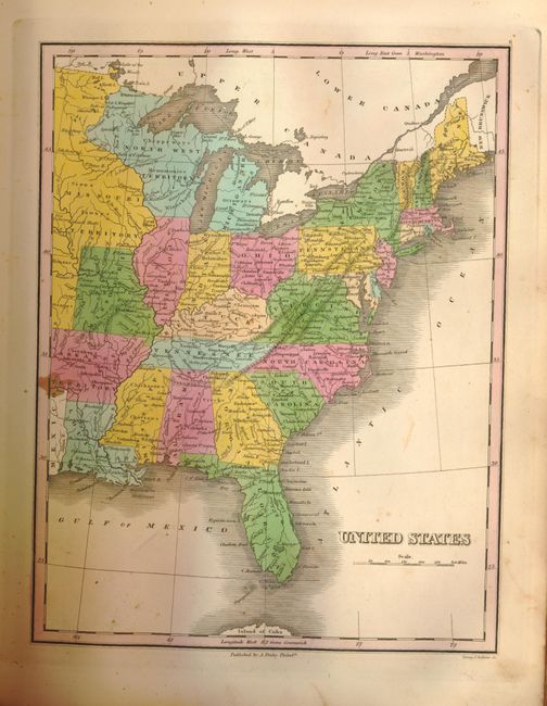
MapMaker: |
Anthony Finley
|
|
| |
| |
Subject: |
Atlases |
|
| |
Period/Size: |
1833 / 14.4" x 11.3" (36.6 x 28.7 cm)
|
|
| |
Color: |
Colored
|
|
| |
Condition: |
The map of Canada has an old blue pencil line across it and the same pencil is used at upper corner of title page for owners name, 1835. The interior maps are very good, but pages and maps at either end with foxing or water stains that decrease after a f (condition help) |
|
| |
Source: |
|
|
| |
References: |
Ristow, p.268; cf Phillips (A) 760 (1831). |
|
| |
|
|
| Sales Information |
| |
| |
Price: |
|
|
| |
| |
Offered by: |
Old World Auctions |
|
| |
Catalog: |
Auction No. 133 - Antique Maps, Charts, Atlases & Globes (7404) |
|
| |
Lot/Item #: |
715 |
|
| |
| |
Date: |
09/2010
|
|
| |
| |
|