| Item Detail |
| |
| |
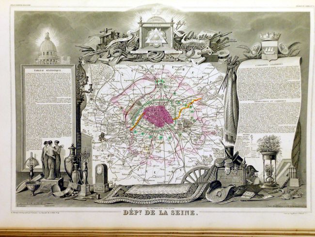
MapMaker: |
Victor Levasseur
|
|
| |
| |
Subject: |
Atlases |
|
| |
Period/Size: |
1852 / 22.0" x 15.0" (55.9 x 38.1 cm)
|
|
| |
Color: |
Colored
|
|
| |
Condition: |
Most of the maps are fine, clean and bright with just a few very good. The Dept. de l'Aube has a small triangular stain in upper margin from postage stamp. Both maps which show Paris are often found soiled, these are fine. Binding is worn, front cover (condition help) |
|
| |
Source: |
|
|
| |
References: |
|
|
| |
|
|
| Sales Information |
| |
| |
Price: |
|
|
| |
| |
Offered by: |
Old World Auctions |
|
| |
Catalog: |
Auction No. 133 - Antique Maps, Charts, Atlases & Globes (7404) |
|
| |
Lot/Item #: |
718 |
|
| |
| |
Date: |
09/2010
|
|
| |
| |
|