Title:
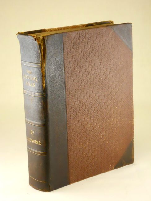
“The Century Atlas of the World”
Map Maker:
Matthews-Northrup Co
This atlas has 137 of 138 map plates, plus 39 hist... (full text available to subscribers)
| Item Detail |
| |
| |
MapMaker: |
Matthews-Northrup Co
|
|
| |
| |
Subject: |
Atlases |
|
| |
Period/Size: |
1898 / 12.0" x 9.0" (30.5 x 22.9 cm)
|
|
| |
Color: |
Colored
|
|
| |
Condition: |
Contents and all maps except as noted are clean and bright (A+). Map 28 (Iowa) and 57 (Southern California) are loose plus 57 is torn in nearly half. Because the boards are rubbed and frayed with back cover cloth torn and lifted this lot is best thought (condition help) |
|
| |
Source: |
|
|
| |
References: |
|
|
| |
|
|
| Sales Information |
| |
| |
Price: |
|
|
| |
| |
Offered by: |
Old World Auctions |
|
| |
Catalog: |
Auction No. 133 - Antique Maps, Charts, Atlases & Globes (7404) |
|
| |
Lot/Item #: |
724 |
|
| |
| |
Date: |
09/2010
|
|
| |
| |
|
Antique Maps - Valuation and Pricing, Descriptions, Resources |
|
Home |
Information |
Search |
Register |
Contact Us |
Site Map
Americana Exchange, Inc. © 1999 - 2024 Americana Exchange, Inc.. All rights reserved.
OldMaps.com, the OldMaps.com logo and
AMPR are service marks or registered service marks of Americana Exchange, Inc..
|