| Item Detail |
| |
| |
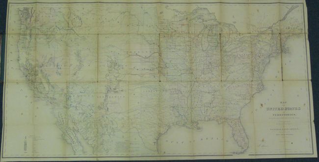
MapMaker: |
General Land Office
|
|
| |
| |
Subject: |
United States |
|
| |
Period/Size: |
1867 / 28.0" x 55.0" (71.2 x 139.7 cm)
|
|
| |
Color: |
Colored
|
|
| |
Condition: |
The map has occasional fold toning, spots and splits, but is well supported by original linen backing. The binding has some shelf wear to edges but image on front and back are very nice. (condition help) |
|
| |
Source: |
Dept. of the Interior |
|
| |
References: |
|
|
| |
|
|
| Sales Information |
| |
| |
Price: |
|
|
| |
| |
Offered by: |
Old World Auctions |
|
| |
Catalog: |
Auction No. 134 - Antique Maps, Charts, Atlases & Globes (7405) |
|
| |
Lot/Item #: |
146 |
|
| |
| |
Date: |
12/2010
|
|
| |
| |
|