| Item Detail |
| |
| |
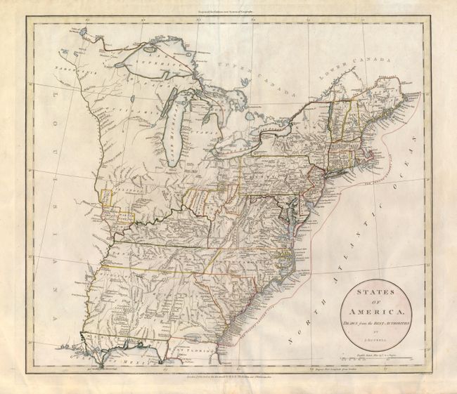
MapMaker: |
John Russell
|
|
| |
| |
Subject: |
Eastern United States |
|
| |
Period/Size: |
1801 / 15.6" x 17.7" (39.7 x 45.0 cm)
|
|
| |
Color: |
Colored
|
|
| |
Condition: |
A hint of occasional toning or soiling. Full margins and crisp impression with original hand coloring. The centerfold has been professionally reinforced on verso. (condition help) |
|
| |
Source: |
Guthries New System of Geography |
|
| |
References: |
|
|
| |
|
|
| Sales Information |
| |
| |
Price: |
|
|
| |
| |
Offered by: |
Old World Auctions |
|
| |
Catalog: |
Auction No. 134 - Antique Maps, Charts, Atlases & Globes (7405) |
|
| |
Lot/Item #: |
154 |
|
| |
| |
Date: |
12/2010
|
|
| |
| |
|