| Item Detail |
| |
| |
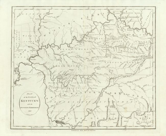
MapMaker: |
John Reid
|
|
| |
| |
Subject: |
Southern United States - Kentucky and Tennessee |
|
| |
Period/Size: |
1795 / 14.6" x 17.4" (37.1 x 44.2 cm)
|
|
| |
Color: |
Black & White
|
|
| |
Condition: |
A remarkable example of this desirable map. Crisp, early impression on clean paper with original margins. (condition help) |
|
| |
Source: |
American Atlas |
|
| |
References: |
Wheat & Brun #646. |
|
| |
|
|
| Sales Information |
| |
| |
Price: |
|
|
| |
| |
Offered by: |
Old World Auctions |
|
| |
Catalog: |
Auction No. 134 - Antique Maps, Charts, Atlases & Globes (7405) |
|
| |
Lot/Item #: |
188 |
|
| |
| |
Date: |
12/2010
|
|
| |
| |
|