| Item Detail |
| |
| |
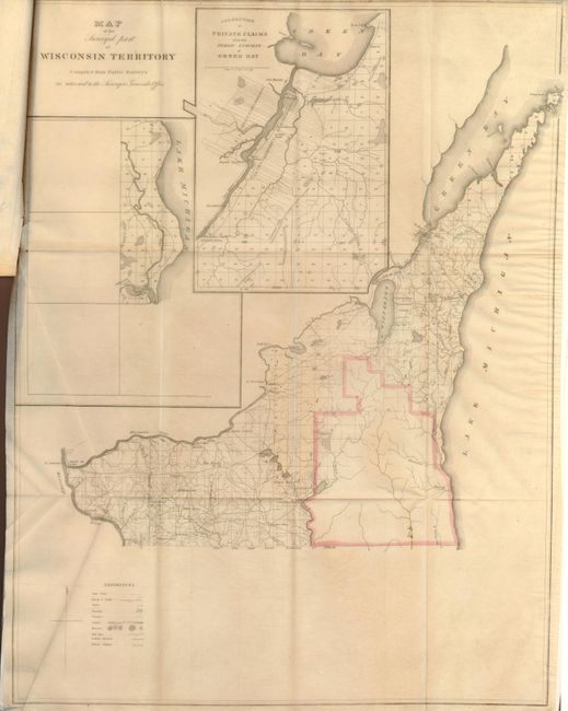
MapMaker: |
U.S. State Surveys
|
|
| |
| |
Subject: |
Central United States, Wisconsin and Arkansas |
|
| |
Period/Size: |
1835 / 21.8" x 16.8" (55.4 x 42.7 cm)
|
|
| |
Color: |
Colored
|
|
| |
Condition: |
Maps folded into report, with a few minor fold separations. There is minor foxing and toning in the text. (condition help) |
|
| |
Source: |
HR Doc #5, 24th Congress, 1st session |
|
| |
References: |
Claussen & Friis #100. |
|
| |
|
|
| Sales Information |
| |
| |
Price: |
|
|
| |
| |
Offered by: |
Old World Auctions |
|
| |
Catalog: |
Auction No. 134 - Antique Maps, Charts, Atlases & Globes (7405) |
|
| |
Lot/Item #: |
197 |
|
| |
| |
Date: |
12/2010
|
|
| |
| |
|