Title:
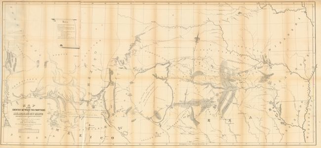
“Map of the Country between the Frontiers of Arkansas and New Mexico embracing the section explored in 1849, 50, 51 & 52, by Capt. R.B. Marcy…”
Map Maker:
U.S. War Department
The title continues "5th U.S. Infy. under orders f... (full text available to subscribers)
| Item Detail |
| |
| |
MapMaker: |
U.S. War Department
|
|
| |
| |
Subject: |
Southwestern United States |
|
| |
Period/Size: |
1853 / 27.5" x 60.0" (69.9 x 152.4 cm)
|
|
| |
Color: |
Black & White
|
|
| |
Condition: |
Very nice example with just a little light fold toning and occasional archival tape to support fold intersections on verso. (condition help) |
|
| |
Source: |
Exploration of the Red River of Louisiana in the Year 1852 |
|
| |
References: |
Wheat (TMW) #791. |
|
| |
|
|
| Sales Information |
| |
| |
Price: |
|
|
| |
| |
Offered by: |
Old World Auctions |
|
| |
Catalog: |
Auction No. 134 - Antique Maps, Charts, Atlases & Globes (7405) |
|
| |
Lot/Item #: |
216 |
|
| |
| |
Date: |
12/2010
|
|
| |
| |
|
Antique Maps - Valuation and Pricing, Descriptions, Resources |
|
Home |
Information |
Search |
Register |
Contact Us |
Site Map
Americana Exchange, Inc. © 1999 - 2024 Americana Exchange, Inc.. All rights reserved.
OldMaps.com, the OldMaps.com logo and
AMPR are service marks or registered service marks of Americana Exchange, Inc..
|