| Item Detail |
| |
| |
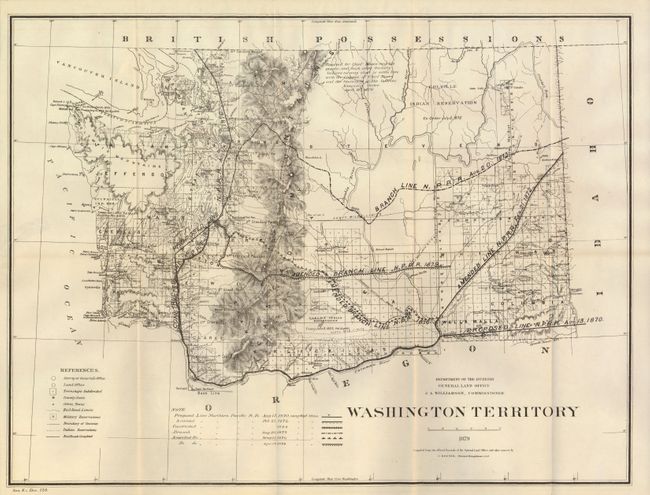
MapMaker: |
General Land Office
|
|
| |
| |
Subject: |
Washington |
|
| |
Period/Size: |
1879 / 16.0" x 21.0" (40.7 x 53.4 cm)
|
|
| |
Color: |
Black & White
|
|
| |
Condition: |
Folding as issued. The map image is clean with no flaws except a 1" tear at right edge closed on verso with cello tape. Map presents from front as near fine. (condition help) |
|
| |
Source: |
Sen. Doc. #120, 46th Congress |
|
| |
References: |
|
|
| |
|
|
| Sales Information |
| |
| |
Price: |
|
|
| |
| |
Offered by: |
Old World Auctions |
|
| |
Catalog: |
Auction No. 134 - Antique Maps, Charts, Atlases & Globes (7405) |
|
| |
Lot/Item #: |
286 |
|
| |
| |
Date: |
12/2010
|
|
| |
| |
|