| Item Detail |
| |
| |
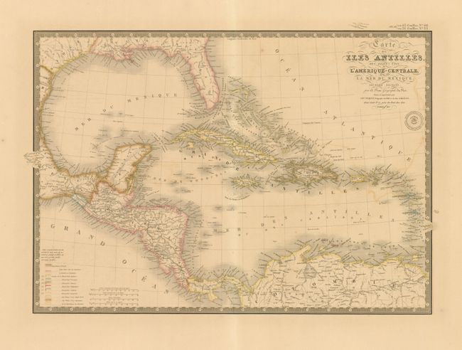
MapMaker: |
Adrien Hubert Brue
|
|
| |
| |
Subject: |
Gulf of Mexico and Caribbean |
|
| |
Period/Size: |
1837 / 14.8" x 21.0" (37.6 x 53.4 cm)
|
|
| |
Color: |
Colored
|
|
| |
Condition: |
An exceptional and flawless example less some light offsetting at right. Crisp, early impression and fine original coloring with enormous margins. (condition help) |
|
| |
Source: |
Atlas Universel de Geographie Physique, Politique et Historique… |
|
| |
References: |
|
|
| |
|
|
| Sales Information |
| |
| |
Price: |
|
|
| |
| |
Offered by: |
Old World Auctions |
|
| |
Catalog: |
Auction No. 134 - Antique Maps, Charts, Atlases & Globes (7405) |
|
| |
Lot/Item #: |
314 |
|
| |
| |
Date: |
12/2010
|
|
| |
| |
|