| Item Detail |
| |
| |
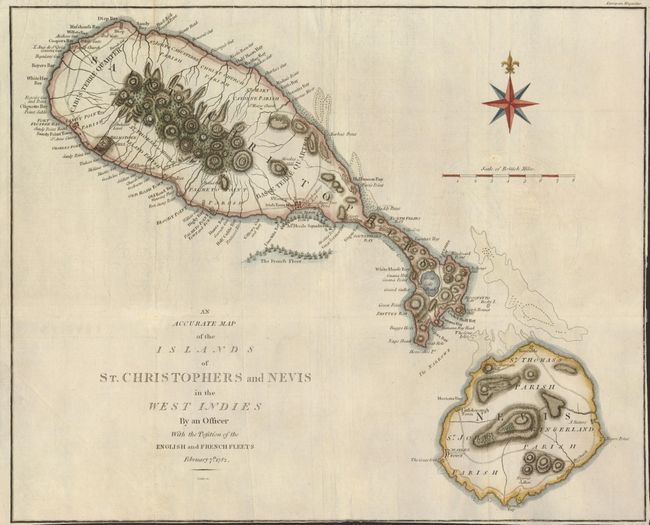
MapMaker: |
John Cary
|
|
| |
| |
Subject: |
Lesser Antilles, St. Kitts & Nevis |
|
| |
Period/Size: |
1782 / 12.3" x 15.0" (31.3 x 38.1 cm)
|
|
| |
Color: |
Colored
|
|
| |
Condition: |
Issued folded, now flattened. Narrow or non-existent margins at bottom and right, as issued. There is a tiny binding tear barely entering the neatline at right, repaired with tissue on verso. (condition help) |
|
| |
Source: |
European Magazine |
|
| |
References: |
Jolly EUR-1. |
|
| |
|
|
| Sales Information |
| |
| |
Price: |
|
|
| |
| |
Offered by: |
Old World Auctions |
|
| |
Catalog: |
Auction No. 134 - Antique Maps, Charts, Atlases & Globes (7405) |
|
| |
Lot/Item #: |
335 |
|
| |
| |
Date: |
12/2010
|
|
| |
| |
|