Title:
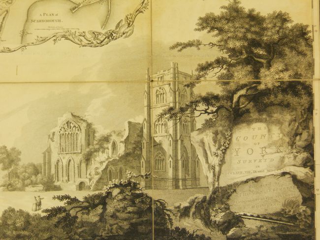
“The County of York Survey'd in MDCCLXVII, VIII, IX and MDCCLXX”
Map Maker:
Thomas Jefferys
This is one of Jeffreys' famous large-scale county... (full text available to subscribers)
| Item Detail |
| |
| |
MapMaker: |
Thomas Jefferys
|
|
| |
| |
Subject: |
England |
|
| |
Period/Size: |
1771 / 92.7" x 115.0" (235.5 x 292.1 cm)
|
|
| |
Color: |
Colored
|
|
| |
Condition: |
Overall in very good condition for a map of this size with no tears in the linen backing and minimal light toning in the map. The marbled paper boards are completely worn. There appears to be two sets of cover boards with the map, which could be used to (condition help) |
|
| |
Source: |
|
|
| |
References: |
|
|
| |
|
|
| Sales Information |
| |
| |
Price: |
|
|
| |
| |
Offered by: |
Old World Auctions |
|
| |
Catalog: |
Auction No. 134 - Antique Maps, Charts, Atlases & Globes (7405) |
|
| |
Lot/Item #: |
415 |
|
| |
| |
Date: |
12/2010
|
|
| |
| |
|
Antique Maps - Valuation and Pricing, Descriptions, Resources |
|
Home |
Information |
Search |
Register |
Contact Us |
Site Map
Americana Exchange, Inc. © 1999 - 2024 Americana Exchange, Inc.. All rights reserved.
OldMaps.com, the OldMaps.com logo and
AMPR are service marks or registered service marks of Americana Exchange, Inc..
|