| Item Detail |
| |
| |
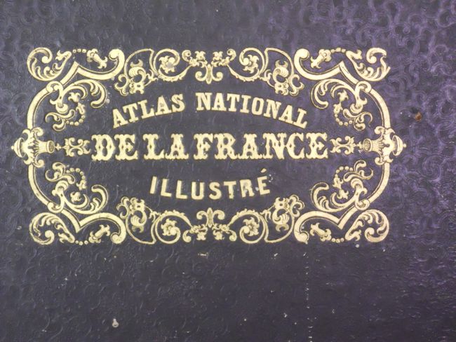
MapMaker: |
Victor Levasseur
|
|
| |
| |
Subject: |
Atlases |
|
| |
Period/Size: |
1854 / 22.0" x 15.0" (55.9 x 38.1 cm)
|
|
| |
Color: |
Colored
|
|
| |
Condition: |
The maps are all fine, clean and bright with lovely original color. The maps that shows Paris and London are often found soiled, these are fine. Three pages with tears just entering the maps: Dept. des Basses-Alpes, Dept. des Haute Alpes, Dept de L'Arde (condition help) |
|
| |
Source: |
|
|
| |
References: |
|
|
| |
|
|
| Sales Information |
| |
| |
Price: |
|
|
| |
| |
Offered by: |
Old World Auctions |
|
| |
Catalog: |
Auction No. 134 - Antique Maps, Charts, Atlases & Globes (7405) |
|
| |
Lot/Item #: |
755 |
|
| |
| |
Date: |
12/2010
|
|
| |
| |
|