| Item Detail |
| |
| |
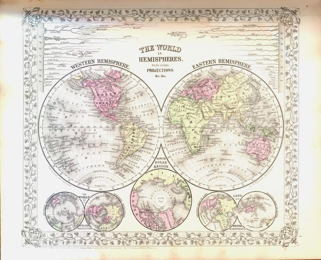
MapMaker: |
Samuel Augustus Mitchell
|
|
| |
| |
Subject: |
Atlases |
|
| |
Period/Size: |
1866 / 16.0" x 13.0" (40.7 x 33.1 cm)
|
|
| |
Color: |
Colored
|
|
| |
Condition: |
All of the maps are stunning, fine examples with bright impression and coloring (A+). The first world map, however, has a little light toning, likely from a piece of lower quality paper stored against it, a common practice. The covers have very slight s (condition help) |
|
| |
Source: |
|
|
| |
References: |
|
|
| |
|
|
| Sales Information |
| |
| |
Price: |
|
|
| |
| |
Offered by: |
Old World Auctions |
|
| |
Catalog: |
Auction No. 134 - Antique Maps, Charts, Atlases & Globes (7405) |
|
| |
Lot/Item #: |
759 |
|
| |
| |
Date: |
12/2010
|
|
| |
| |
|