Title:
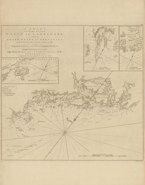
“A Chart of Part of the Coast of Labradore, from Grand Point to Shecatica”
Map Maker:
Jefferys/Sayer & Bennett
After France ceded Canada to Britain at the end of... (full text available to subscribers)
| Item Detail |
| |
| |
MapMaker: |
Jefferys/Sayer & Bennett
|
|
| |
| |
Subject: |
Canada |
|
| |
Period/Size: |
1770 / 19.4" x 20.5" (49.3 x 52.1 cm)
|
|
| |
Color: |
Black & White
|
|
| |
Condition: |
Minor fold separations have been repaired. (condition help) |
|
| |
Source: |
The North American Pilot |
|
| |
References: |
Sellers & Van Ee #687. |
|
| |
|
|
| Sales Information |
| |
| |
Price: |
|
|
| |
| |
Offered by: |
Old World Auctions |
|
| |
Catalog: |
Auction No. 135 - Antique Maps, Charts, Atlases & Globes (7406) |
|
| |
Lot/Item #: |
121 |
|
| |
| |
Date: |
02/2011
|
|
| |
| |
|
Antique Maps - Valuation and Pricing, Descriptions, Resources |
|
Home |
Information |
Search |
Register |
Contact Us |
Site Map
Americana Exchange, Inc. © 1999 - 2024 Americana Exchange, Inc.. All rights reserved.
OldMaps.com, the OldMaps.com logo and
AMPR are service marks or registered service marks of Americana Exchange, Inc..
|