| Item Detail |
| |
| |
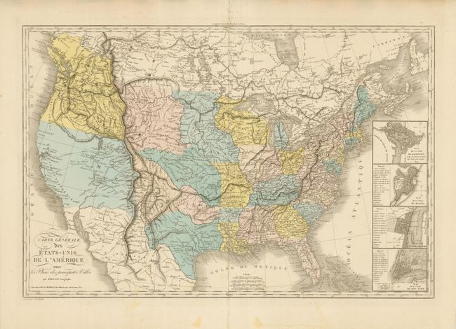
MapMaker: |
Eustache Herisson
|
|
| |
| |
Subject: |
United States |
|
| |
Period/Size: |
1838 / 19.8" x 30.2" (50.3 x 76.7 cm)
|
|
| |
Color: |
Colored
|
|
| |
Condition: |
On a huge sheet of thick paper with wide, original margins. Fine hand coloring and very nice impression. There is an small area of light staining in the lower, blank margin. Due to thick paper the centerfold has a strong crease or short split in blank (condition help) |
|
| |
Source: |
|
|
| |
References: |
Wheat (TMW) #371. |
|
| |
|
|
| Sales Information |
| |
| |
Price: |
|
|
| |
| |
Offered by: |
Old World Auctions |
|
| |
Catalog: |
Auction No. 135 - Antique Maps, Charts, Atlases & Globes (7406) |
|
| |
Lot/Item #: |
146 |
|
| |
| |
Date: |
02/2011
|
|
| |
| |
|