| Item Detail |
| |
| |
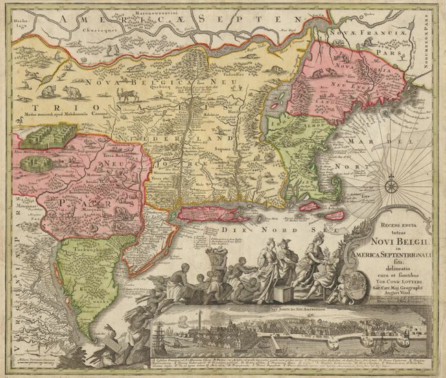
MapMaker: |
Seutter/Lotter
|
|
| |
| |
Subject: |
Colonial New England and Mid-Atlantic |
|
| |
Period/Size: |
1760 / 19.6" x 22.6" (49.8 x 57.4 cm)
|
|
| |
Color: |
Colored
|
|
| |
Condition: |
A crease and vertical tear through the map has been expertly repaired, so that it is only now visible on the verso. There is some minor soil in the map. (condition help) |
|
| |
Source: |
|
|
| |
References: |
McCorkle #730.5; Tooley (Amer), Campbell, p. 292, #27, plt. 160-162. |
|
| |
|
|
| Sales Information |
| |
| |
Price: |
|
|
| |
| |
Offered by: |
Old World Auctions |
|
| |
Catalog: |
Auction No. 135 - Antique Maps, Charts, Atlases & Globes (7406) |
|
| |
Lot/Item #: |
175 |
|
| |
| |
Date: |
02/2011
|
|
| |
| |
|