| Item Detail |
| |
| |
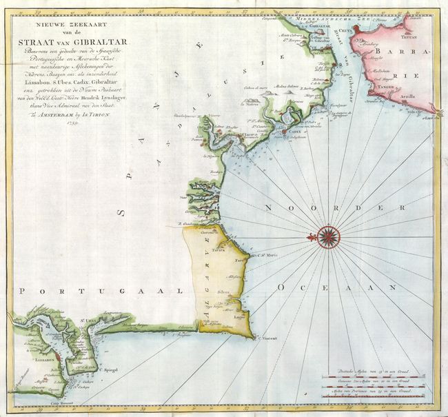
MapMaker: |
Isaac Tirion
|
|
| |
| |
Subject: |
Strait of Gibraltar, Spain and Portugal |
|
| |
Period/Size: |
1759 / 15.4" x 16.7" (39.2 x 42.5 cm)
|
|
| |
Color: |
Colored
|
|
| |
Condition: |
Issued folded, now flattened. There are some stains in the margins, and a 1.5" repaired binding tear at upper right. The upper right corner of the blank margin has been repaired. (condition help) |
|
| |
Source: |
|
|
| |
References: |
|
|
| |
|
|
| Sales Information |
| |
| |
Price: |
|
|
| |
| |
Offered by: |
Old World Auctions |
|
| |
Catalog: |
Auction No. 135 - Antique Maps, Charts, Atlases & Globes (7406) |
|
| |
Lot/Item #: |
568 |
|
| |
| |
Date: |
02/2011
|
|
| |
| |
|