| Item Detail |
| |
| |
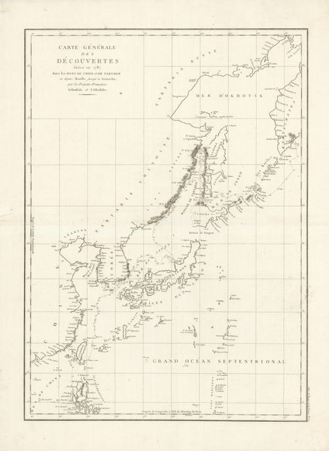
MapMaker: |
Jean Francois Galaup de La Perouse
|
|
| |
| |
Subject: |
Eastern Asia |
|
| |
Period/Size: |
1787-1797 / 26.5" x 19.3" (67.4 x 49.1 cm)
|
|
| |
Color: |
Black & White
|
|
| |
Condition: |
The crisp impression is on a full sheet of clean, bright paper with very wide, original margins. Deckle edged paper on right side. Flawless except for a short marginal tear at left that has been professionally closed. Two very tiny worm holes only visibl (condition help) |
|
| |
Source: |
Atlas du Voyage de la Perouse |
|
| |
References: |
|
|
| |
|
|
| Sales Information |
| |
| |
Price: |
|
|
| |
| |
Offered by: |
Old World Auctions |
|
| |
Catalog: |
Auction No. 135 - Antique Maps, Charts, Atlases & Globes (7406) |
|
| |
Lot/Item #: |
637 |
|
| |
| |
Date: |
02/2011
|
|
| |
| |
|