| Item Detail |
| |
| |
MapMaker: |
Adrien Reland
|
|
| |
| |
Subject: |
Japan |
|
| |
Period/Size: |
1732 / 6.8" x 4.0" (17.3 x 10.2 cm)
|
|
| |
Color: |
Black & White
|
|
| |
Condition: |
The map is a crisp and beautiful example with no flaws (A+). Contents are also fine. The original binding is also near fine with just a trace of shelf wear. Title page has a small Japanese wood block stamp at upper right not affecting any text. (condition help) |
|
| |
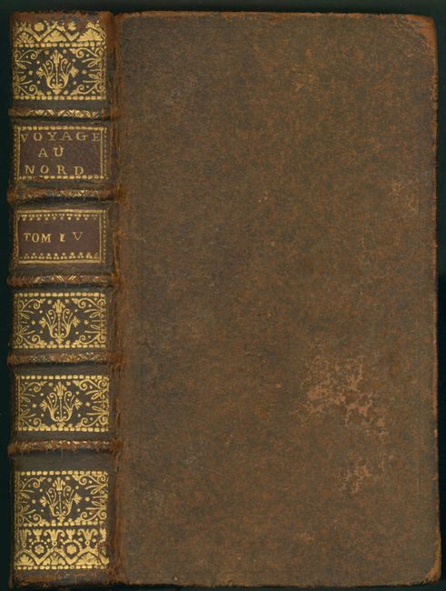
Source: |
Bernard's Recueil de Voyages au Nord… |
|
| |
References: |
Walter OAG #68 |
|
| |
|
|
| Sales Information |
| |
| |
Price: |
|
|
| |
| |
Offered by: |
Old World Auctions |
|
| |
Catalog: |
Auction No. 135 - Antique Maps, Charts, Atlases & Globes (7406) |
|
| |
Lot/Item #: |
651 |
|
| |
| |
Date: |
02/2011
|
|
| |
| |
|