| Item Detail |
| |
| |
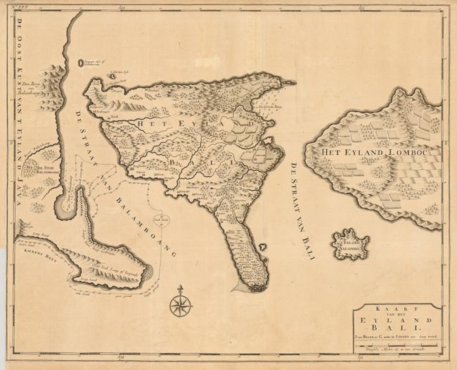
MapMaker: |
Francois Valentijn
|
|
| |
| |
Subject: |
Bali, Indonesia |
|
| |
Period/Size: |
1724 / 17.6" x 22.0" (44.7 x 55.9 cm)
|
|
| |
Color: |
Black & White
|
|
| |
Condition: |
Folded as issued. Binder's trim at lower left, nearly to neatline with a tiny tear just touching neatline. There are a couple small tears in the top margin, one that enters the border. There is some faint uneven toning. (condition help) |
|
| |
Source: |
Oud en Niew Oost-Indien |
|
| |
References: |
|
|
| |
|
|
| Sales Information |
| |
| |
Price: |
|
|
| |
| |
Offered by: |
Old World Auctions |
|
| |
Catalog: |
Auction No. 135 - Antique Maps, Charts, Atlases & Globes (7406) |
|
| |
Lot/Item #: |
673 |
|
| |
| |
Date: |
02/2011
|
|
| |
| |
|