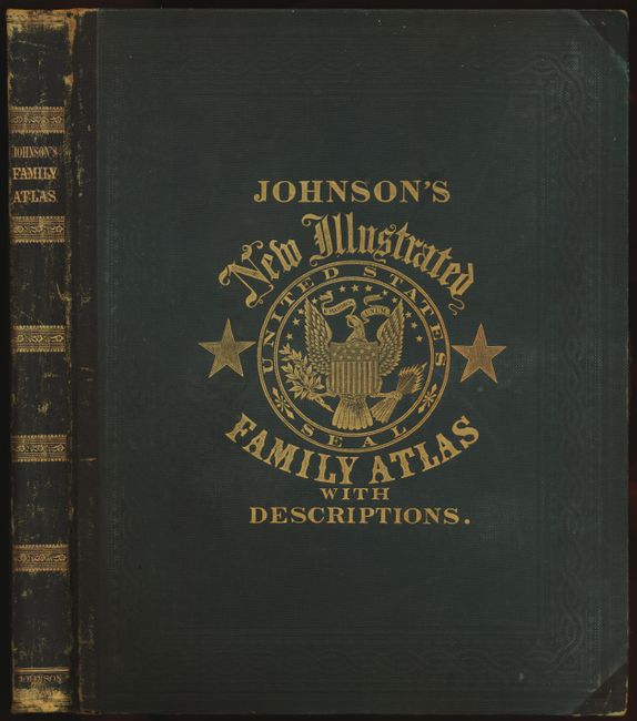
Title:
“Johnson's New Illustrated Family Atlas of the World…”
Map Maker:
Johnson & Browning
This is the early 1862 edition published by Johnso... (full text available to subscribers)
| Item Detail |
| |
| |
MapMaker: |
Johnson & Browning
|
|
| |
| |
Subject: |
Atlases |
|
| |
Period/Size: |
1862 / 18.6" x 15.0" (47.3 x 38.1 cm)
|
|
| |
Color: |
Colored
|
|
| |
Condition: |
Map and text very good to fine with lightly toned margins and a few minor spots. Binding tight with minimal shelf wear and a small split in cloth on front cover. (condition help) |
|
| |
Source: |
|
|
| |
References: |
Phillips (A) #837. |
|
| |
|
|
| Sales Information |
| |
| |
Price: |
|
|
| |
| |
Offered by: |
Old World Auctions |
|
| |
Catalog: |
Auction No. 135 - Antique Maps, Charts, Atlases & Globes (7406) |
|
| |
Lot/Item #: |
778 |
|
| |
| |
Date: |
02/2011
|
|
| |
| |
|
Antique Maps - Valuation and Pricing, Descriptions, Resources |
|
Home |
Information |
Search |
Register |
Contact Us |
Site Map
Americana Exchange, Inc. © 1999 - 2024 Americana Exchange, Inc.. All rights reserved.
OldMaps.com, the OldMaps.com logo and
AMPR are service marks or registered service marks of Americana Exchange, Inc..
|