| Item Detail |
| |
| |
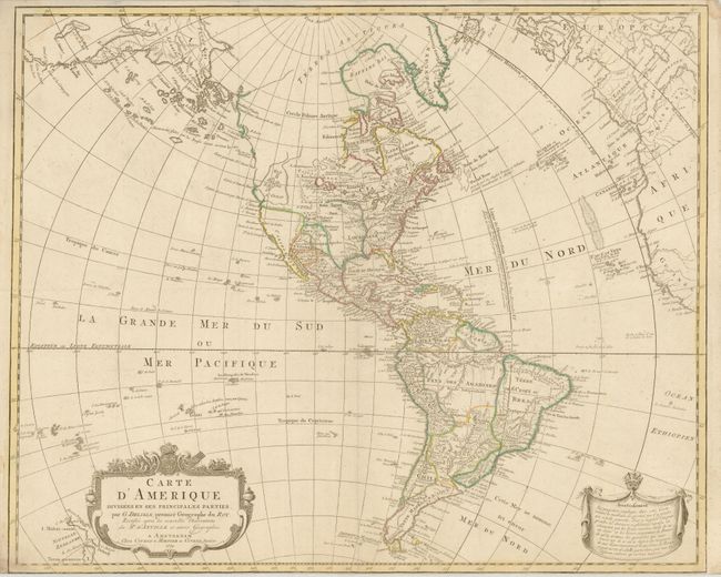
MapMaker: |
Delisle/Covens & Mortier
|
|
| |
| |
Subject: |
Western Hemisphere - America |
|
| |
Period/Size: |
1774 / 19.3" x 23.5" (49.1 x 59.7 cm)
|
|
| |
Color: |
Colored
|
|
| |
Condition: |
Original color. Issued folded, now flat. Minor soiling primarily in the margins with a very narrow bottom margin, as issued. (condition help) |
|
| |
Source: |
|
|
| |
References: |
Tooley (Amer) p. 17, #20. |
|
| |
|
|
| Sales Information |
| |
| |
Price: |
|
|
| |
| |
Offered by: |
Old World Auctions |
|
| |
Catalog: |
Auction No. 136 - Antique Maps, Charts, Atlases & Globes (7407) |
|
| |
Lot/Item #: |
79 |
|
| |
| |
Date: |
06/2011
|
|
| |
| |
|