| Item Detail |
| |
| |
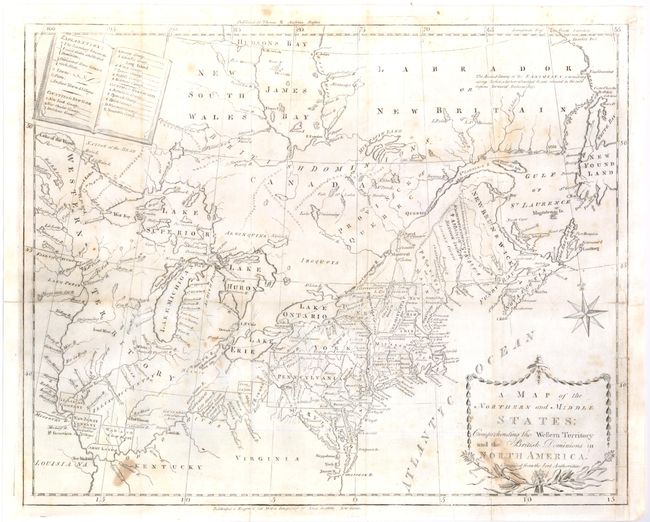
MapMaker: |
John Stockdale
|
|
| |
| |
Subject: |
Canada & United States |
|
| |
Period/Size: |
1793 / 12.8" x 15.8" (32.6 x 40.2 cm)
|
|
| |
Color: |
Black & White
|
|
| |
Condition: |
A few spots mostly in lower left and in cartouche. Issued folding, the map has a little weakness along the main fold with archival tape on verso at fold intersections, and a 2" insertion tear at edge closed on verso. The binding trim has been neatly re (condition help) |
|
| |
Source: |
Morse's American Universal Geography |
|
| |
References: |
McCorkle #789.6; Kershaw #386; Sellers & Van Ee #194; Wheat & Brun #153. |
|
| |
|
|
| Sales Information |
| |
| |
Price: |
|
|
| |
| |
Offered by: |
Old World Auctions |
|
| |
Catalog: |
Auction No. 136 - Antique Maps, Charts, Atlases & Globes (7407) |
|
| |
Lot/Item #: |
134 |
|
| |
| |
Date: |
06/2011
|
|
| |
| |
|