| Item Detail |
| |
| |
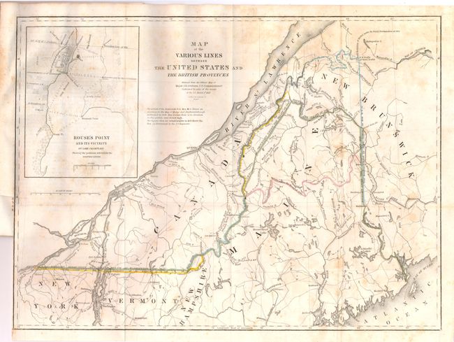
MapMaker: |
James Duncan Graham
|
|
| |
| |
Subject: |
Canada & New England |
|
| |
Period/Size: |
1846 / 11.8" x 15.5" (30.0 x 39.4 cm)
|
|
| |
Color: |
Colored
|
|
| |
Condition: |
The map is sound with some scattered foxing and a tiny insertion tear in the border. The disbound report has a little light text offsetting in some areas, but is generally clean with no physical flaws. (condition help) |
|
| |
Source: |
Mr. Webster's Vindication of the Treaty of Washington in 1842ģ |
|
| |
References: |
|
|
| |
|
|
| Sales Information |
| |
| |
Price: |
|
|
| |
| |
Offered by: |
Old World Auctions |
|
| |
Catalog: |
Auction No. 136 - Antique Maps, Charts, Atlases & Globes (7407) |
|
| |
Lot/Item #: |
139 |
|
| |
| |
Date: |
06/2011
|
|
| |
| |
|