| Item Detail |
| |
| |
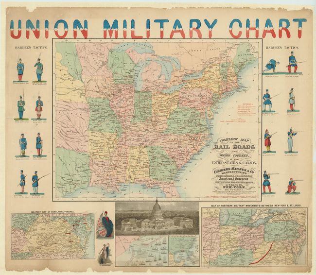
MapMaker: |
Charles Magnus [& Co.]
|
|
| |
| |
Subject: |
Eastern United States |
|
| |
Period/Size: |
1861-62 / 24.0" x 28.0" (61.0 x 71.2 cm)
|
|
| |
Color: |
Colored
|
|
| |
Condition: |
A little toning at upper margin and some marginal chipping at top and bottom edge. The map has recently been professionally backed with thick Japanese tissue to stabilize the thin paper. (condition help) |
|
| |
Source: |
|
|
| |
References: |
cf Stephenson 14.33, cf Modelski 44. |
|
| |
|
|
| Sales Information |
| |
| |
Price: |
|
|
| |
| |
Offered by: |
Old World Auctions |
|
| |
Catalog: |
Auction No. 136 - Antique Maps, Charts, Atlases & Globes (7407) |
|
| |
Lot/Item #: |
180 |
|
| |
| |
Date: |
06/2011
|
|
| |
| |
|